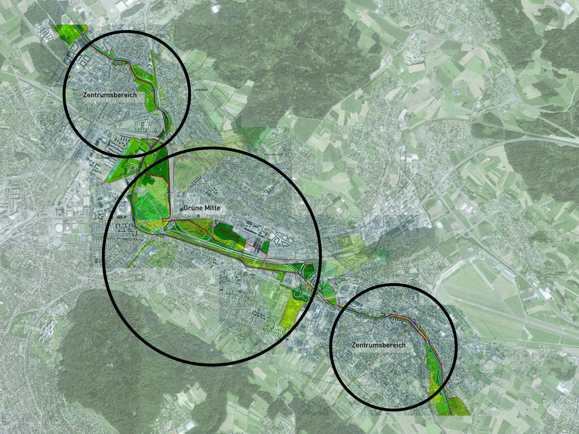
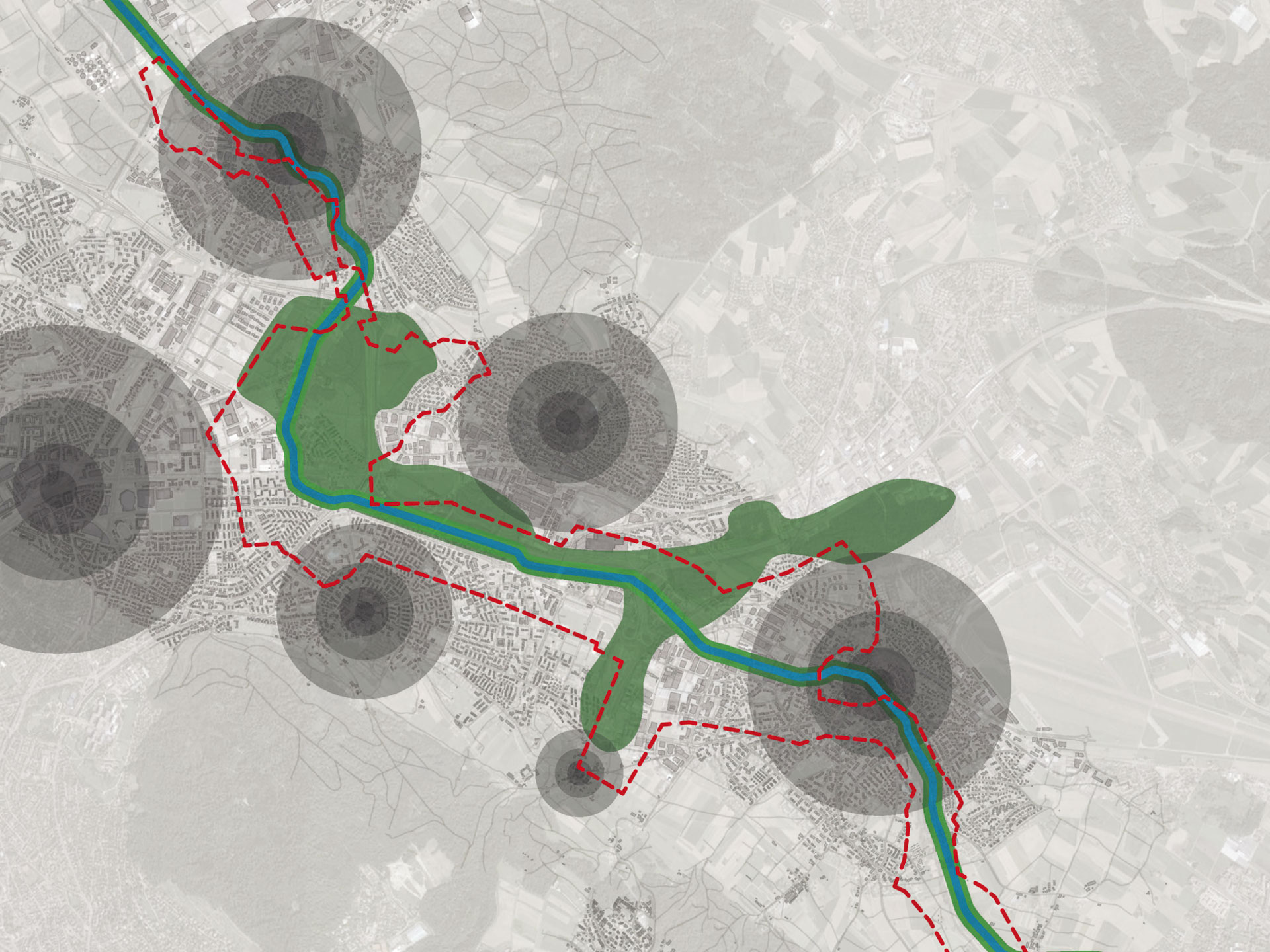
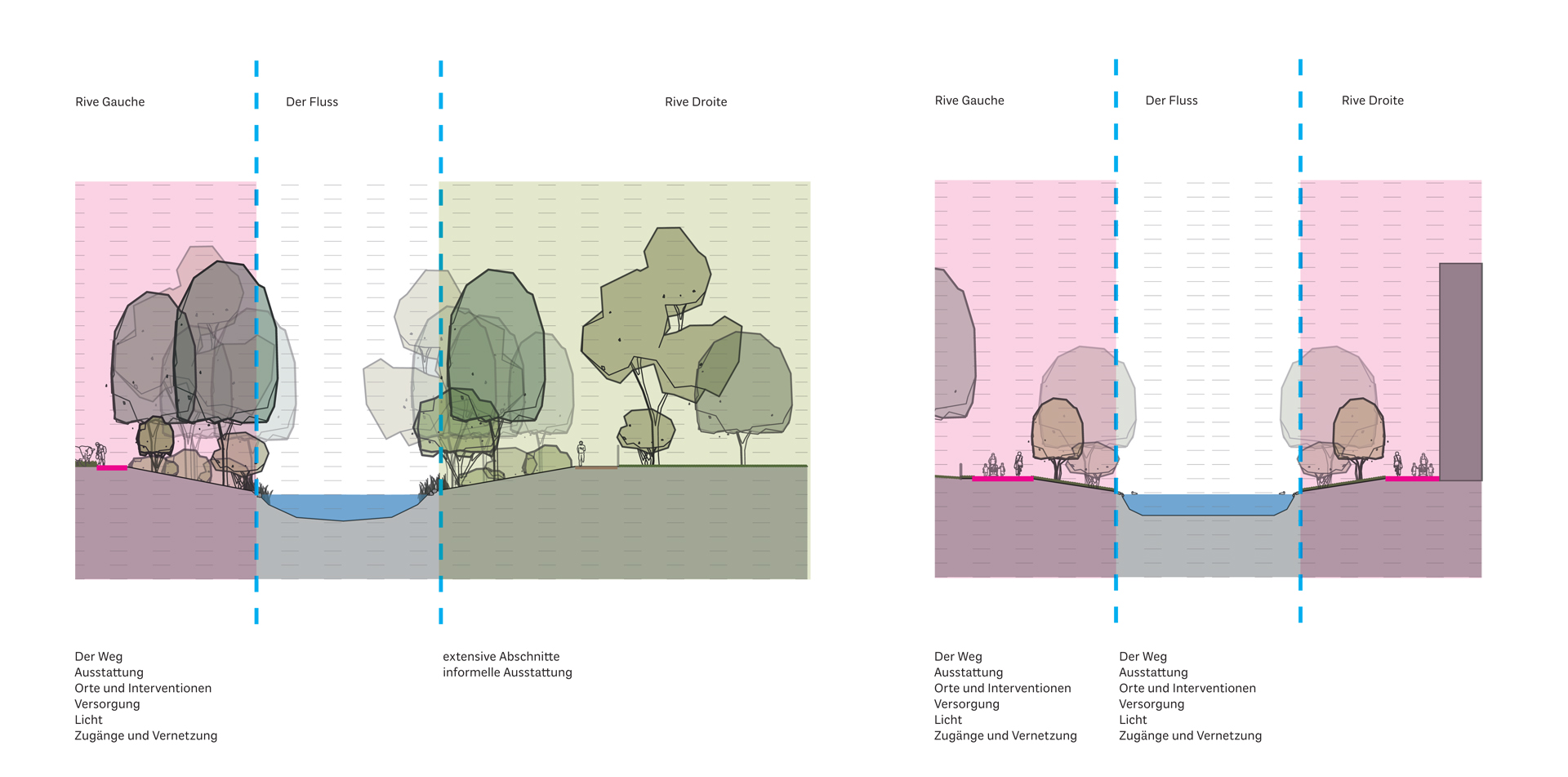
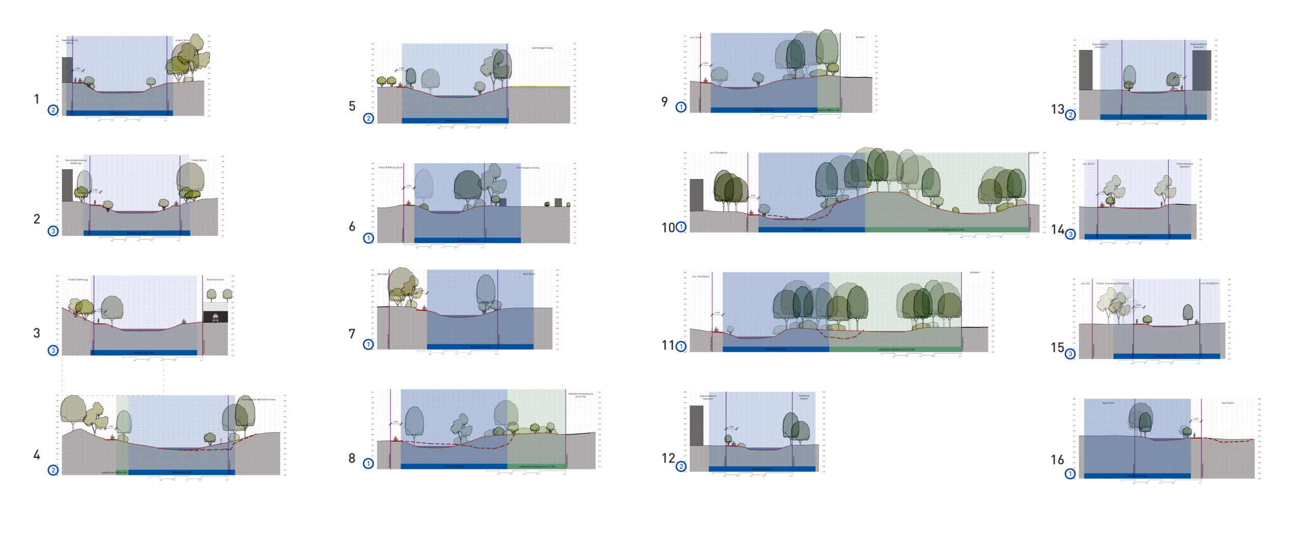
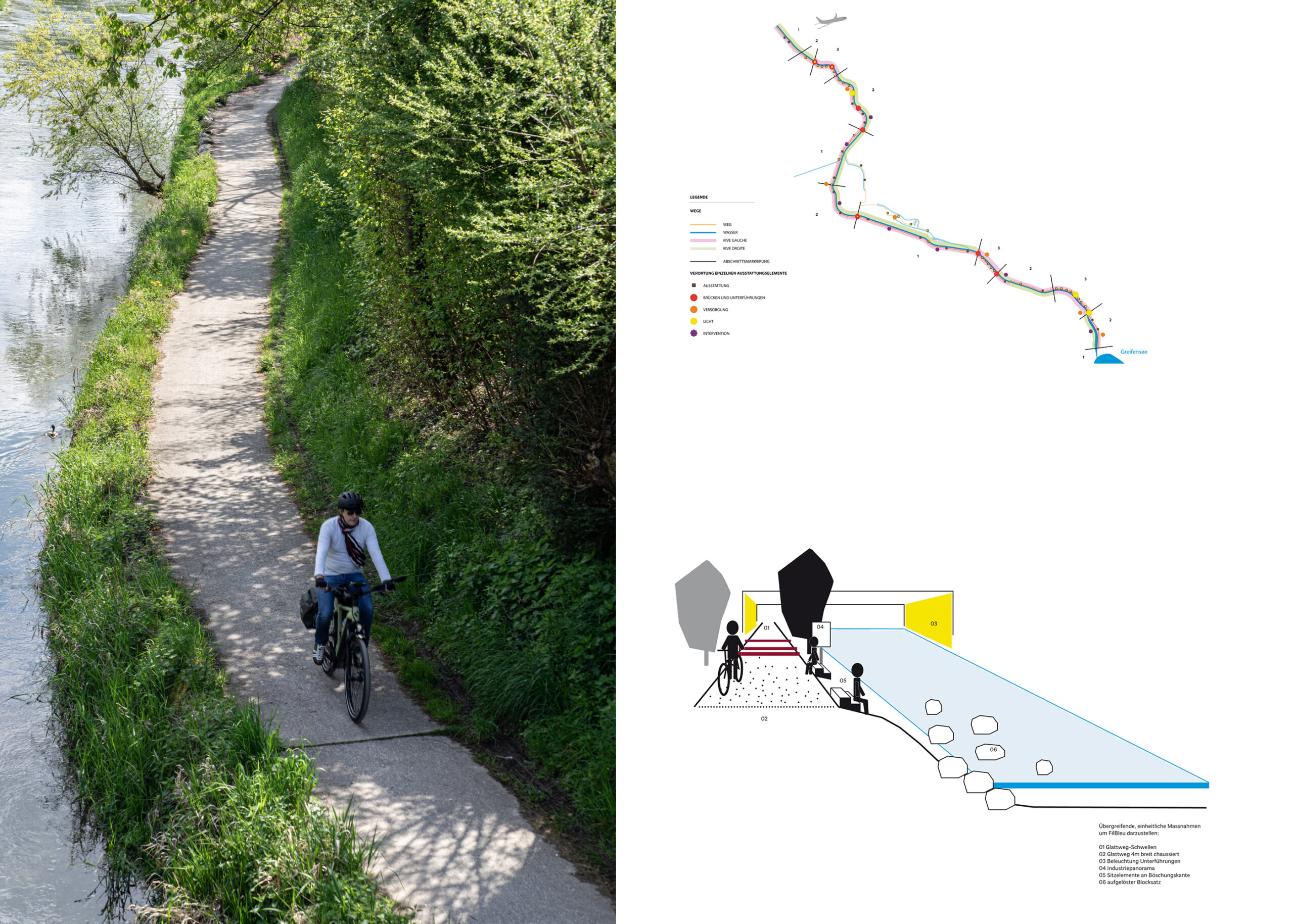
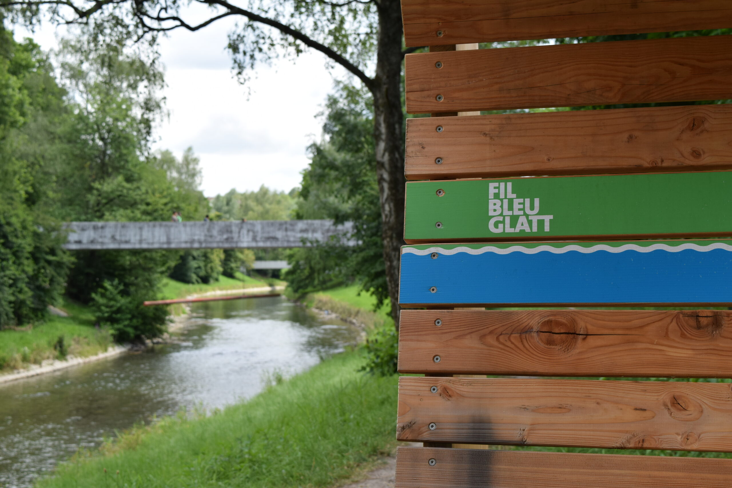
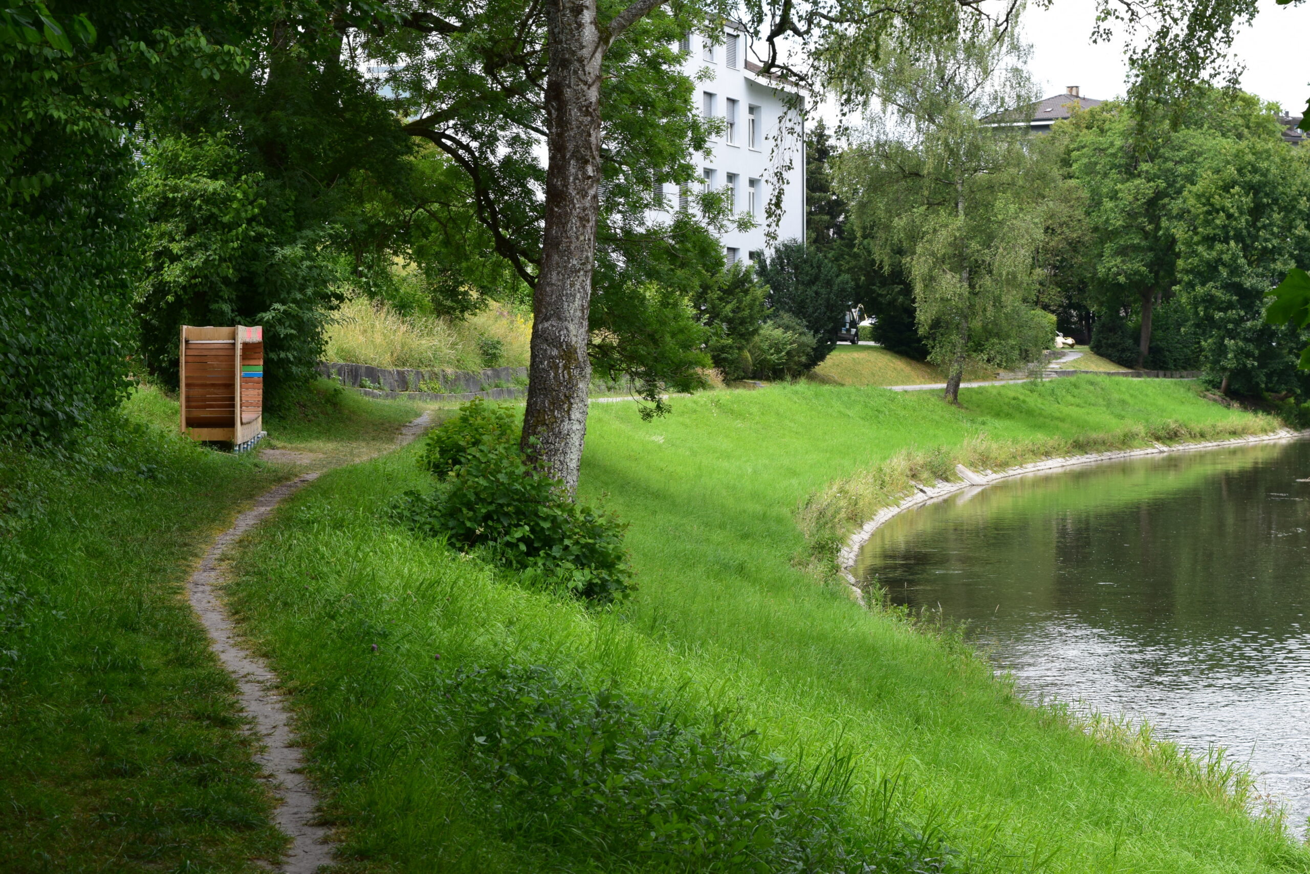
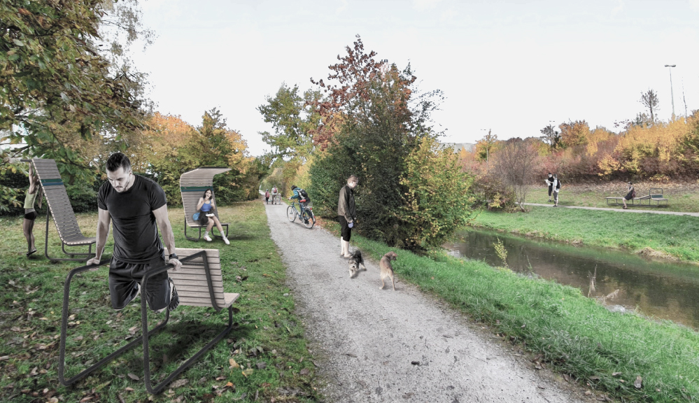
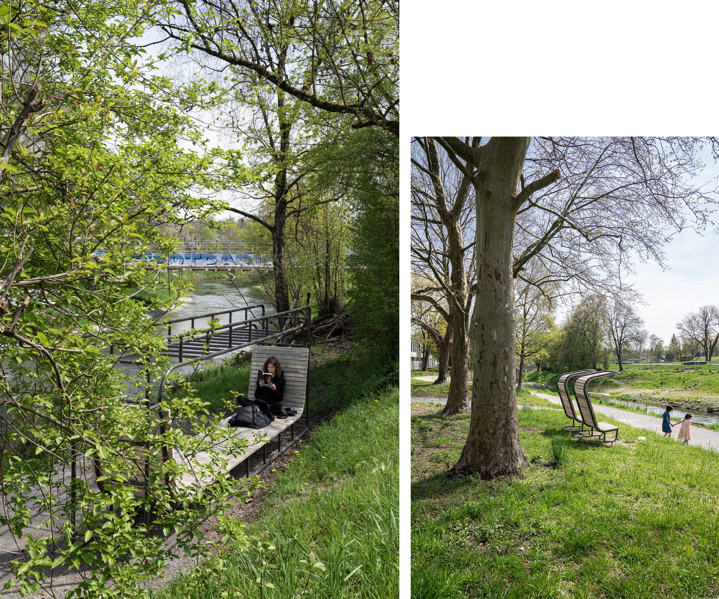
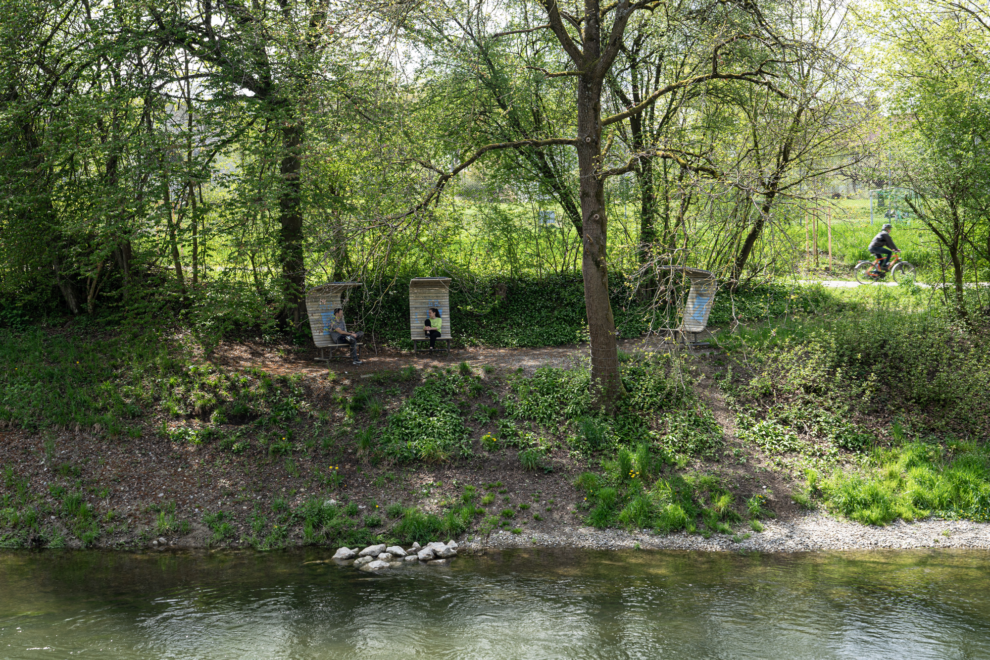
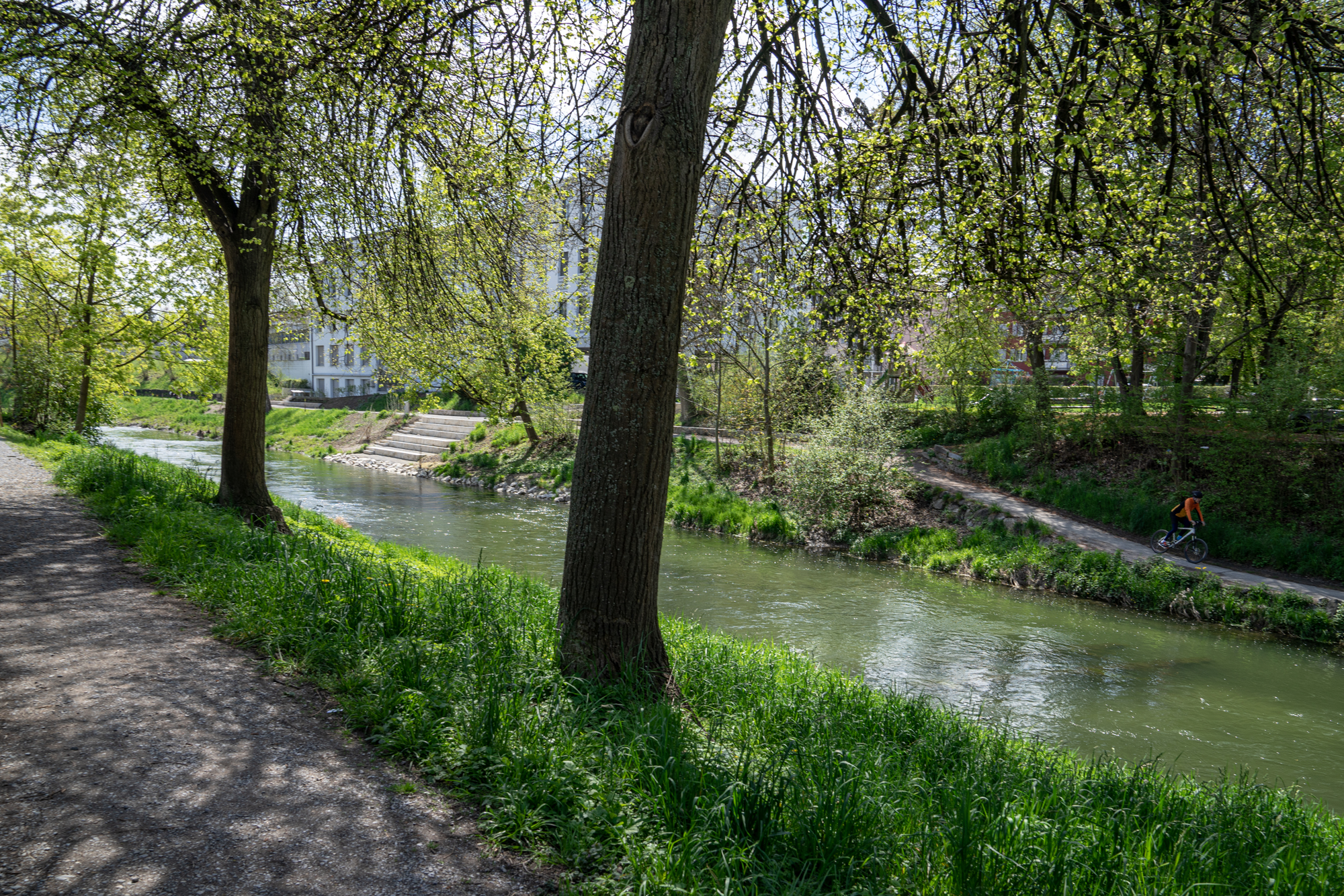
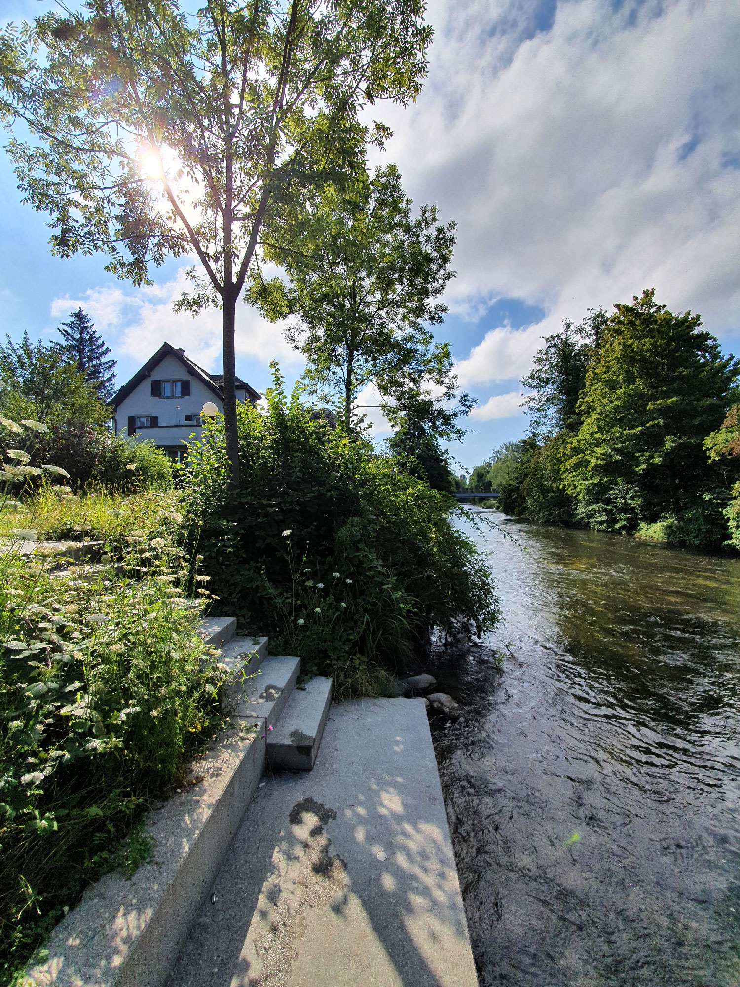
From Ice Age wetland to industrial waterway to town stream, the history of the river Glatt is characterized by very different images. In today’s context of expanded housing development, the pressures being placed on it as a space for recreation and transit are increasing. This is, however, inconsistent with the demands of nature conservation and flood protection. “Fil Bleu” embodies the common target vision established for the river basin by the adjoining communities and the canton of Zürich. The two banks of the Glatt are treated differently in response to the local conditions: new life is given to the left bank by a riverside path, which integrates recreational facilities that brings people into closer contact with the Glatt. By contrast, the right bank is renaturalized and only accessible at certain points.
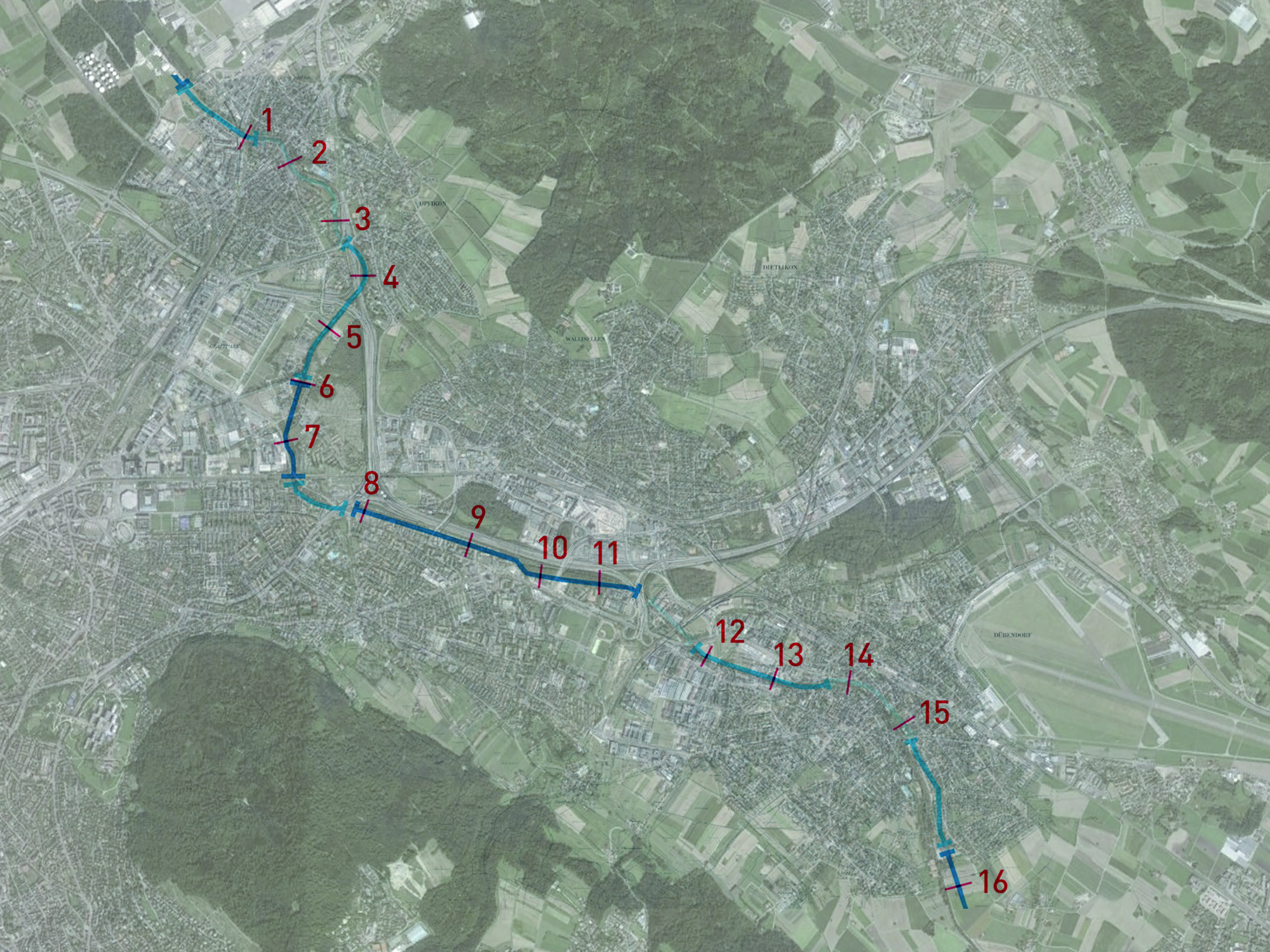
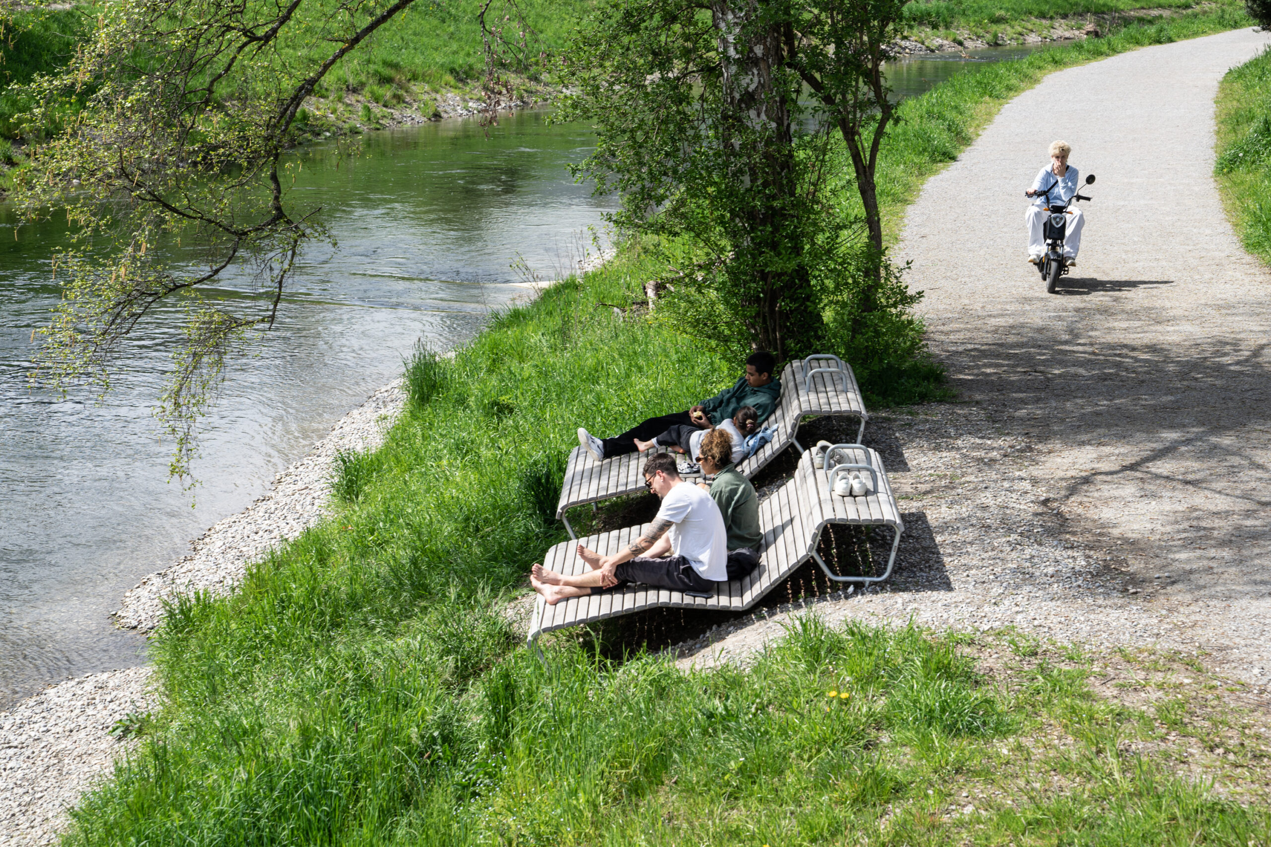
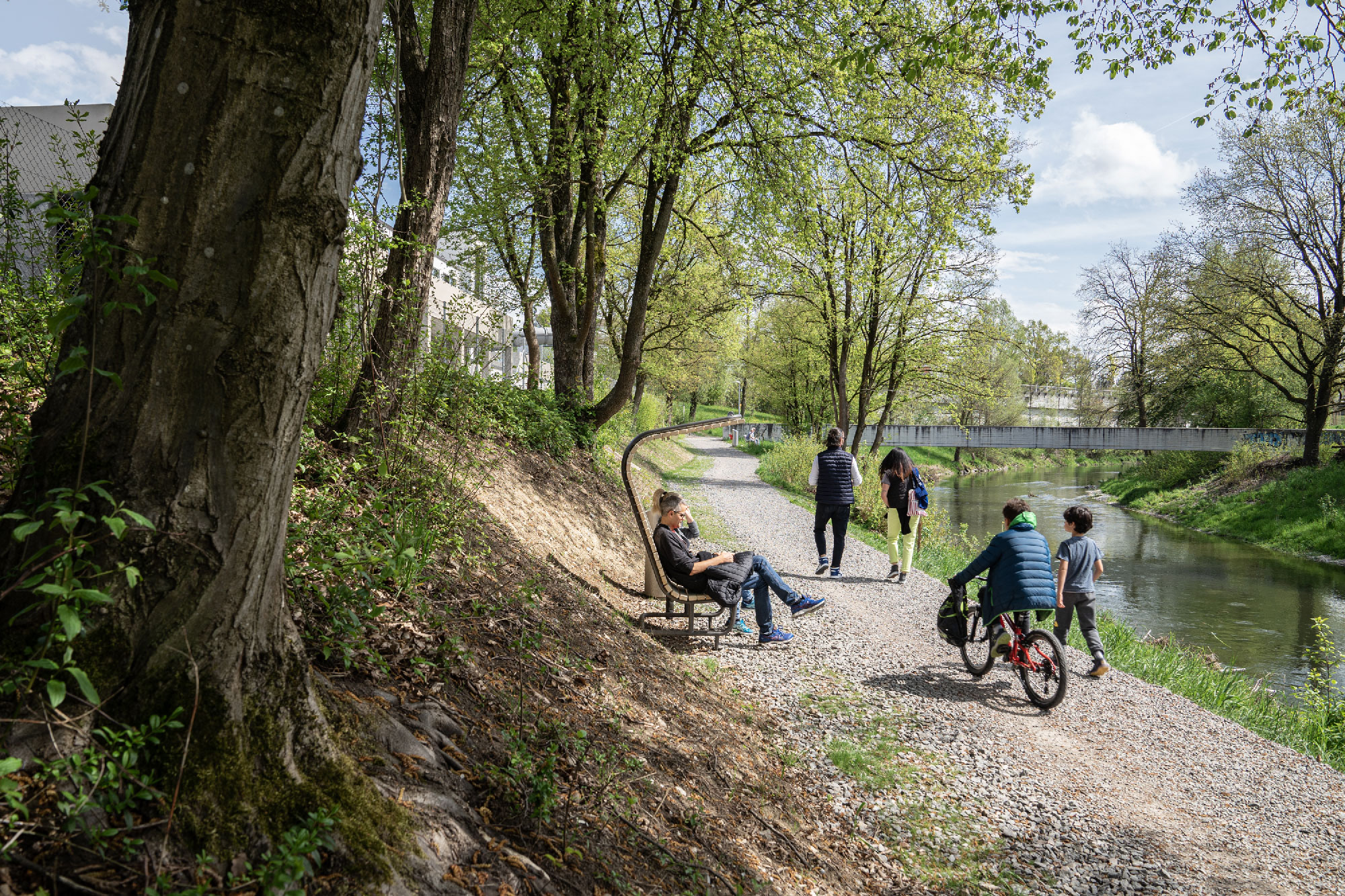
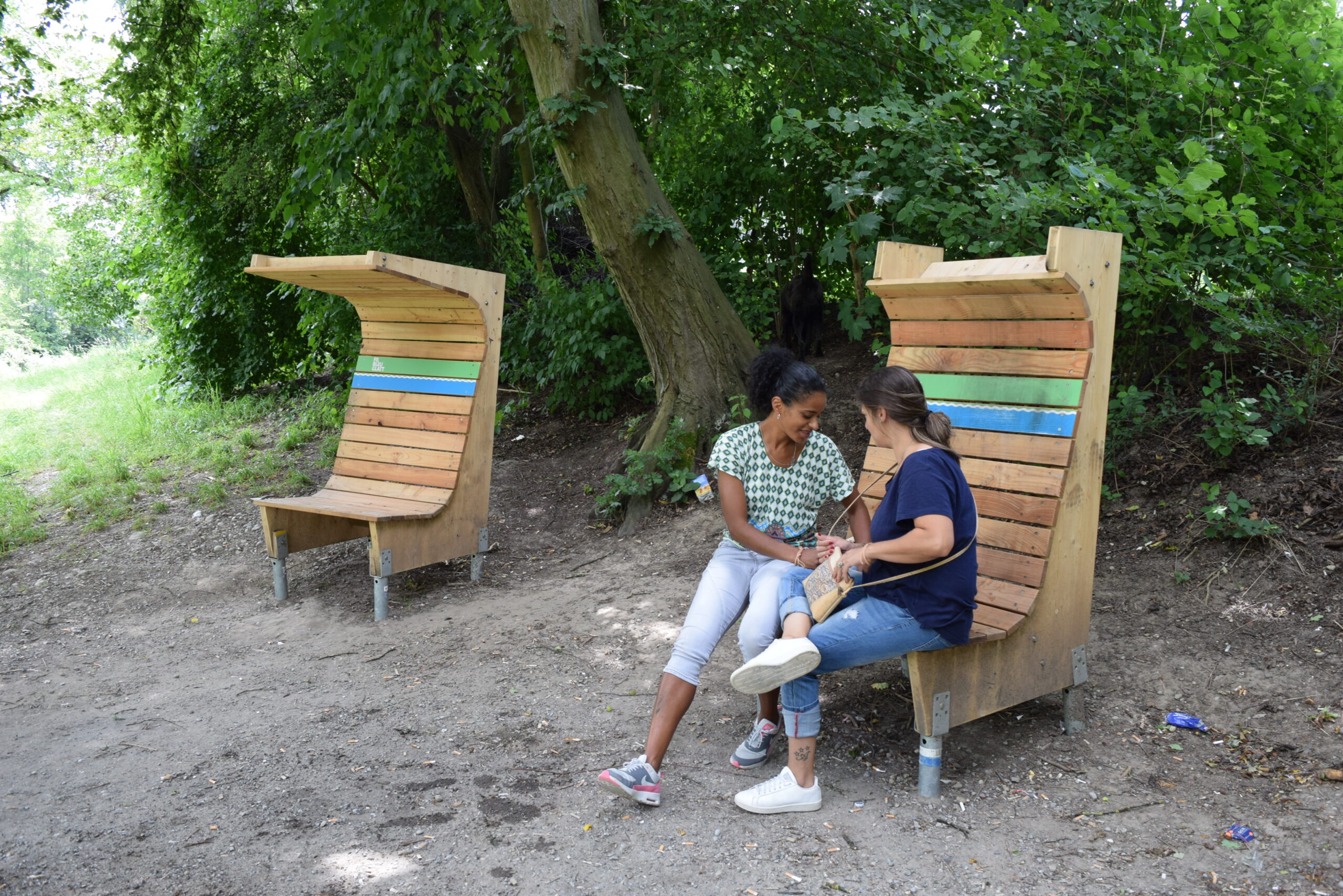
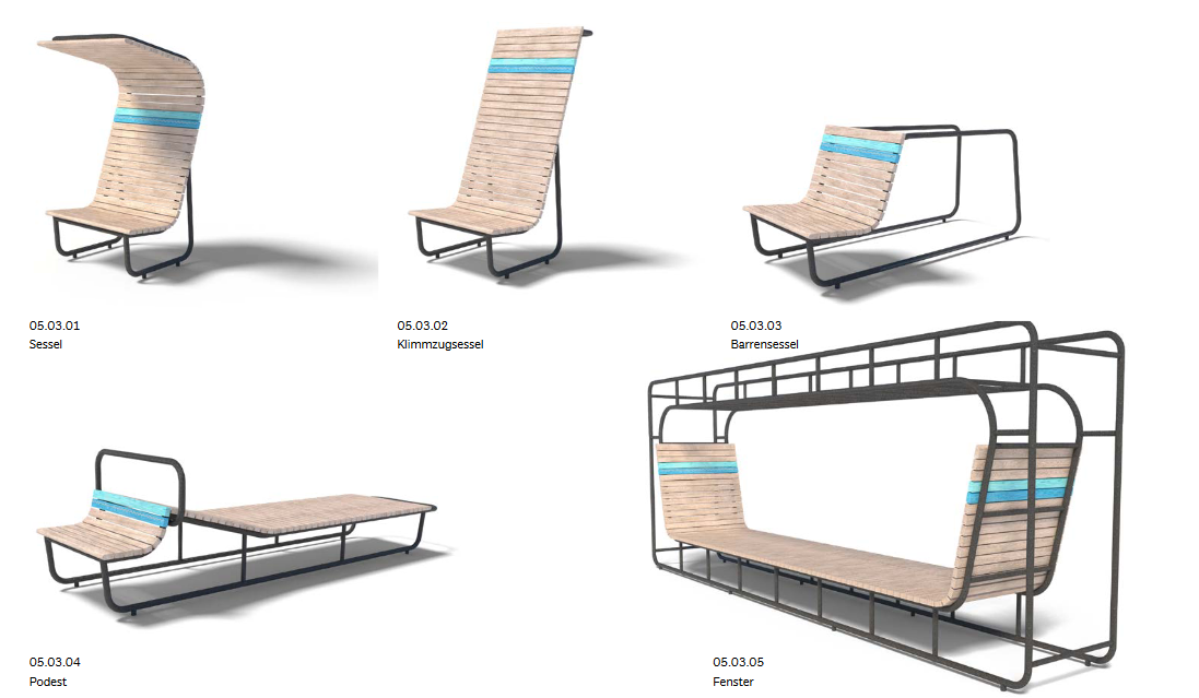
The integration of recurring design elements strengthens the river basin’s identity as a continuous park space along the river that belongs to all the neighboring communities. There are seating elements in proximity to facing the stream, bands of steps that lead down to occupiable spaces directly at the water’s edge, and lighting that accentuates the characteristically high number of bridges and provides safety at night. Additionally, the installation of temporary furniture elements breaks up the long-range timeline of the project. The space along the river is immediately identifiable and can be used for recreation. The transformation of the Glatt river basin proceeds within this set of rules. However, it is not simply part of the ongoing housing development; as a holistic element of open space, it is part of the overall surrounding natural and urban environment.
Location: Glatt Valley, Zurich, Switzerland
Planning: 2013–2014
Implementation phase: from 2015
Owner(s): Grün Stadt Zürich
Landscape: Studio Vulkan
Furniture Design: Winfried Schneider
Ecology: Oeplan GmbH
Traffic planning: Suter von Känel Wild AG
Signage: Integral Ruedi Baur Zürich
